Licensing and airspace
Commercial drone operation in the UK requires an appropriate CAA operational authorisation, adherence to the Drone Code, and awareness of local airspace restrictions (some parts of Devon sit under military exercise areas or CTAs). Every flight is planned in advance and logged for insurance purposes.
Imagery and 3D modelling
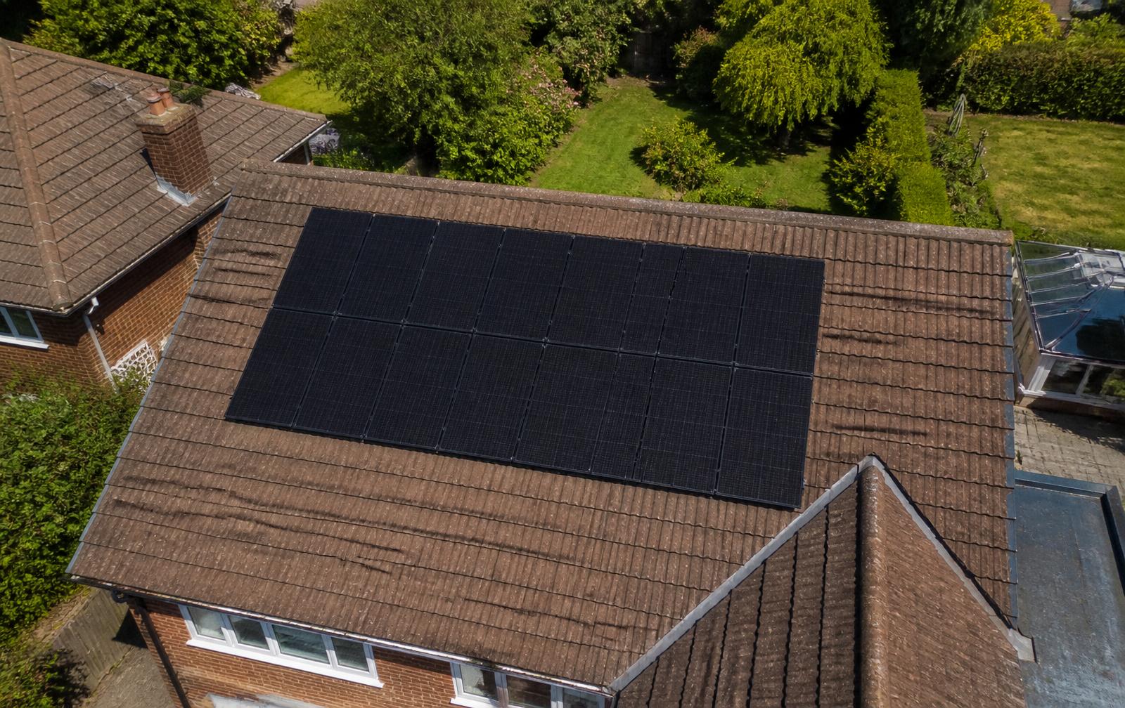
The drone captures overlapping high-resolution imagery of every roof plane, chimney, vent, and obstruction. That imagery is processed into a 3D model of the roof surface accurate to within centimetres, the level required for genuine string layout and mounting-system selection.
Bespoke design software vs free web tools
Free web tools estimate. Paid bespoke software calculates: string-level MPPT performance, monthly shading, DC-to-AC ratio, cable losses, and mounting layout down to individual roof hooks. We use the same class of software the best installers use, and we use it on your quote before you have committed to anything.
Where the drone catches problems a satellite misses
Recent extensions, new dormers, satellite dishes, moss coverage, hipped-roof geometry, tree growth in the last two seasons, and neighbouring buildings that cast winter shade, all routinely missed by satellite tools and routinely caught by the drone.
Residential vs commercial roofs
Both benefit, but for very different reasons. Residential roofs get a genuinely accurate design and a firm quote. Commercial roofs, flat, ballasted, or profiled metal, get accurate area calculations, obstruction mapping, and structural planning input that flat satellite imagery cannot support.